Google and the EDF’s MethaneSAT will track methane emissions using AI and hold polluters accountable
On Wednesday, Google announced it would be working with the EDF using its AI and cloud technology to help track emissions observed by MethaneSAT.
A few minutes every morning is all you need.
Stay up to date on the world's Headlines and Human Stories. It's fun, it's factual, it's fluff-free.
The backstory: Around 30% of Earth’s climate change issues are related to methane emissions from things like industrial cattle farming and extracting fossil fuel. In the first 20 years after methane enters the atmosphere, it’s more than 80 times stronger than carbon dioxide (CO2) when it comes to global warming. But it’s hard to track since it’s invisible to the human eye and sometimes challenging to pinpoint in satellite images.
Last year, the US, the EU and China announced they would work harder on monitoring and reporting methane emissions. Over 150 nations have also committed to reducing the release of methane by 30% by the end of this decade (compared to 2020 levels under the Global Methane Pledge launched at COP26). And during the COP28 climate summit in November, 50 of the biggest oil and gas producers pledged to significantly cut methane emissions by 2030. But research has shown that many polluters are probably lowballing the actual amount of methane they are emitting. So, it’s hard to know how accurate our data is.
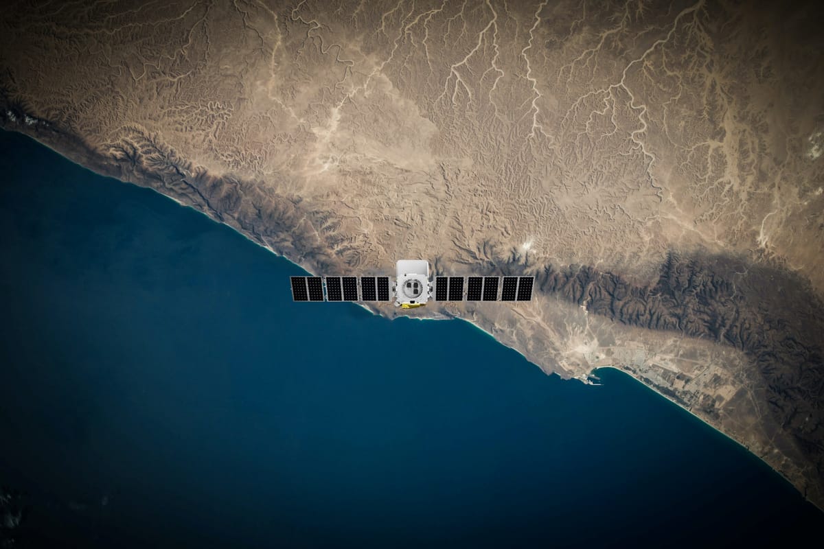
More recently: As a potential solution, the Environmental Defense Fund (EDF) has been working on the satellite MethaneSAT to check out methane levels over the world’s top oil- and gas-producing regions. The EDF partnered with the New Zealand Space Agency and has other big backers like the Bezos Earth Fund.
The development: On Wednesday, Google announced it would be working with the EDF using its AI and cloud technology to help track emissions observed by MethaneSAT, which is set to be launched into orbit by Elon Musk’s SpaceX Falcon 9 rocket next month. The satellite will be at an altitude of 525 kilometers and can orbit the Earth in 95 minutes, seeing a wide view of 200 kilometers. That means it can see both big and smaller emitters of methane better than other satellites have been able to.
Essentially, using the same methods as our beloved Google Maps, the goal is to pinpoint oil and gas infrastructure and methane emissions to create a global map to show where the emissions are coming from. This will then help nations take steps to reduce their emissions as well as keep companies accountable for their part in the pollution. Steven Hamburg, chief scientist at the EDF, said that by the end of 2025, we’ll have a clear picture of where the emissions are coming from.
Key comments:
“Our mission is about action and helping countries, companies and communities track and reduce emissions faster while documenting their progress,” said Steve Hamburg, chief scientist at EDF, according to a transcript from an online briefing with journalists. “It is also about accountability, giving policymakers, investors and the public the unprecedented ability to see and compare those results.”
“Methane dominates what’s happening in the near term,” said Hamburg on a Google press call. “The timing really matters. Because if we do it really quickly and dramatically reduce those methane emissions, we can significantly reduce that rate of warming over the coming decades.”
Yael Maguire, Vice President and General Manager of Google’s Geo Sustainability team said on a press call, “We think this information is incredibly valuable for energy companies, researchers and the public sector to anticipate and mitigate methane emissions.”
“Once we have this complete infrastructure map, we can overlay the MethaneSAT data that shows where methane is coming from,” Maguire said on Wednesday. “When the two maps are lined up, we can see how emissions correspond to specific infrastructure and obtain a far better understanding of the types of sources that generally contribute most to methane leaks.”

Comments ()